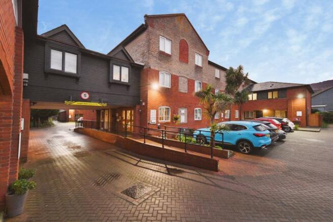
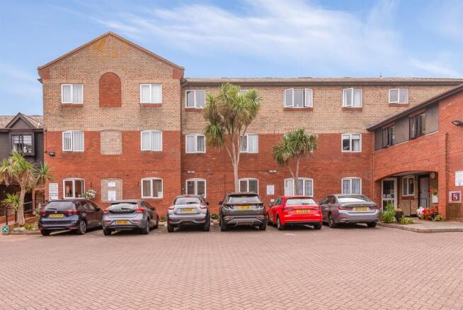
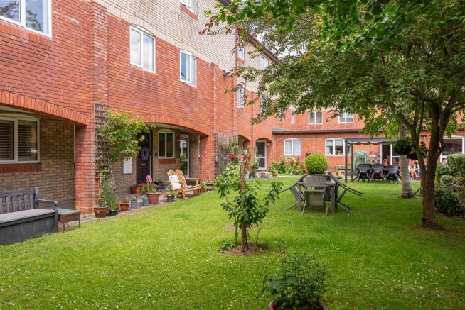
How much do houses sell for on Baker Mews?
Over the last five years the median sold price on Baker Mews (CM9) was £152,500 across 18 sales; over the last twelve months it was £220,000 across 2.
Maldon · CM9 · 51 homes · 141 recorded sales
| Flat | £130,000 | 15 sales |
| Semi-detached | £200,000 | 3 only |
Grey dots: the homes on this street with a recorded sale or listing (flats in one building share a dot). Prices: its homes for sale now, asking price.
Google Street View near the middle of the street. Drag to look around.
Homes on this street listed for sale and to let now (sale agreed left out) with the median asking price; each card links to the home's page
Standard sales, newest first
Official figures for the neighbourhood (LSOA) Baker Mews's homes lie in. Council: Maldon.
Official house price index, September 2026: a mix-adjusted average for a typical home in the council area, not the mean of the month's sales
Over the last five years the median sold price on Baker Mews (CM9) was £152,500 across 18 sales; over the last twelve months it was £220,000 across 2.
The latest registered standard sale is dated 2026-01-09. Sales are usually registered one to three months after completion.
Baker Mews is in the CM9 postcode district of Maldon.
The official house price index puts the average home in Maldon at £406,165 in September 2026: up 5.0% on a year earlier and up 12.8% over five years.
The police recorded 333 crimes in Baker Mews's neighbourhoods in the 12 months to September 2026 — 184.2 per 1,000 residents, against 98.4 across England and Wales. The most common was Violence and sexual offences.
Band D in Maldon is £2,328 a year for 2026-27. The most common band among Baker Mews's homes is band C (29.5% of dwellings).
Standard registered sales. Contains HM Land Registry data © Crown copyright and database right 2026, licensed under the Open Government Licence v3.0.
uHouse · Sources and methods: methodology
Official private rents index, October 2026: average monthly rent of private tenancies in the council area
1,050 dwellings by council tax band, with Maldon's 2026-27 charge for each band
Charges are the council's Band D scaled by the fixed band ratios (A = 6/9 of D … H = 18/9); a home's own band is on the Valuation Office Agency register.
Nearest primary and secondary schools within 5 km · Ofsted outcome · exam results (England)
Crimes recorded by the police in Baker Mews's neighbourhoods, October 2025 – September 2026
Neighbourhoods are drawn to hold similar numbers of residents, but town-centre ones also count crimes against shoppers and visitors, so their totals run high. Crimes on trains, the Underground and at stations (recorded by British Transport Police) are not included.
Crimes within 500 m, October 2025 – September 2026, at the anonymised map points the police place them on
Where the neighbourhoods rank in their nation's index of multiple deprivation, which combines income, employment, education, health and more, by decile (1 = most deprived 10%)
1 neighbourhoods in Baker Mews
Census 2021: 1,808 residents and 975 households, beside England & Wales
Average share of premises per postcode able to get each service; outdoor 4G / 5G coverage of premises in Maldon
Homes in an area at risk of flooding from rivers or the sea, allowing for flood defences
Official river and sea flood risk: homes in a high, medium or low risk area out of 1,050 dwellings; 4 more are at very low risk (under 0.1% a year).
Surface-water flooding from heavy rain is not included.
Sources: open data published by UK public bodies — see Sources & copyright for the attribution.